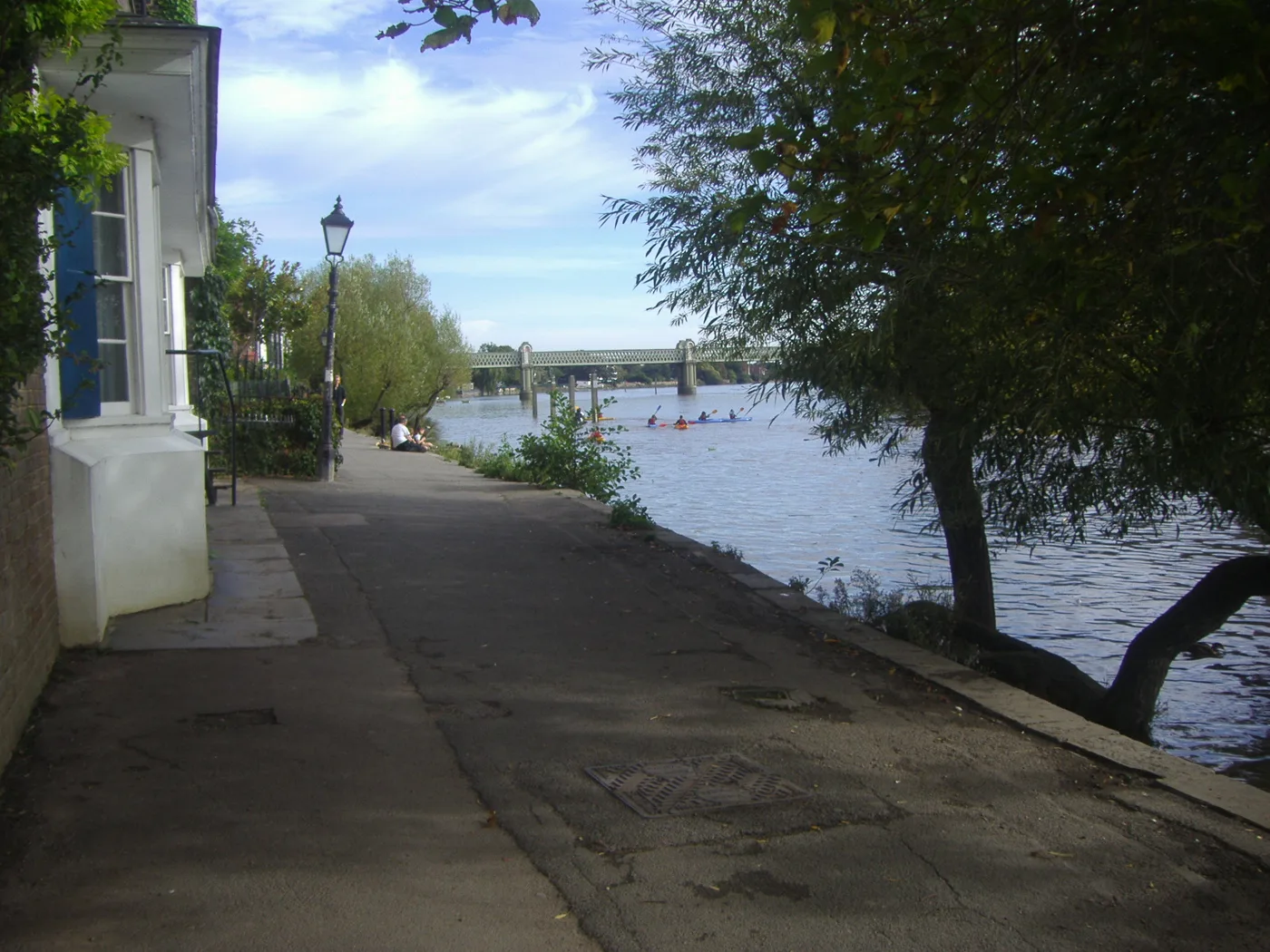

Hounslow's new resilience plan puts Chiswick Riverside and Chiswick Homefields at the greatest risk of Thames flooding. It takes effect on 17 September.
Two Chiswick wards are named as the parts of Hounslow at greatest overall risk of river flooding from the Thames, in a plan the council’s Cabinet approved on 8 September 2026.
The Climate Change Resilience Plan is the borough’s first. Its flood risk maps single out Chiswick Riverside, Chiswick Homefields and Syon and Brentford Lock, saying “large sections” of those three wards carry the greatest overall risk of river flooding from the Thames. Smaller scale risk comes from the River Brent and the River Crane elsewhere in the borough.
The plan is not yet in force. Its Cabinet report gives a call-in deadline of 16 September 2026 and an implementation date of 17 September 2026 if it is not called in. Call-in is the mechanism by which a scrutiny committee can ask Cabinet to look at a decision again before it takes effect.
What the plan says about water in Chiswick
The plan splits flooding into three kinds, and treats them differently:
- Surface water flooding, when heavy rain overwhelms the drains. The plan blames impermeable surfaces, roads, pavements and buildings, for stopping water soaking away and speeding its run-off into the system.
- River flooding, when the Thames, the Brent or the Crane overtop their banks after heavy rain.
- Tidal flooding, from high tides and storm surges on the Thames and the lower Brent and Crane.
On tidal risk the plan is blunt about the timetable. Risk in Hounslow is currently low because of the Thames tidal defences, including the Thames Barrier. But it states that changes to Barrier operations from around 2050 are expected to increase the frequency of tidal flooding, with raised upstream defences reducing some of that.
The plan’s maps also mark places where residents have reported repeated flooding of homes and roads. The council says it has been collecting those reports since 2017.
The heat numbers
The plan’s other headline hazard is temperature, and the figures in it are specific. Parts of the borough are urban heat islands, where dense building and little green space hold the heat. Those hotspots reach 34 to 35°C, and sometimes above 35°C, when the rest of the borough is around 32°C.
That 32°C threshold matters because it is the point at which the Met Office issues a red extreme heat warning, on the basis that the temperature is dangerous to health.
The plan then projects how often the borough passes it, on a worst case pathway of +4°C of global warming:
- Up to 2050, above 32°C on fewer than 2 days a year.
- After 2055, the number of hot days grows sharply.
- By 2080, the borough as a whole could see up to 4 days a year above 32°C, and the hotspot areas up to 20 days.
Six hazards, fifty actions, and a funding gap
The plan names six priority climate hazards for the borough:
- surface water flooding
- high temperatures and heatwaves
- drought and water stress
- severe storms
- tidal flooding
- wildfires
Behind them sits an action register of 50 entries, each scored for delivery cost, expected benefit and overall value. The riverside actions are the ones that touch Chiswick most directly. They include a condition review of local tidal defences to set maintenance priorities, a tidal flood preparedness framework for riverside communities, a review of individual assets inside flood risk areas, and work to align the borough with Thames Estuary 2100, the Environment Agency’s long-term plan for tidal flood risk in London.
The money is where the plan is candid. Its financial section says about half the actions will be delivered through projects, asset management and capital programmes already funded, at a cost of around £1 million already in council budgets. The rest are unfunded, and the report estimates that delivering them needs more than £6 million, subject to business cases and budget approval. The council says it will keep pursuing external money, naming the Environment Agency and Thames Water for sustainable drainage and flood resilience work.
Who the council thinks is most exposed
The plan overlays climate risk on deprivation. It uses the council’s Equality Opportunity Areas, drawn from the 2025 Index of Multiple Deprivation, the 2024 Community Needs Index and the 2021 Census. There are 34 such neighbourhoods in Hounslow:
- 3 among the 10% most deprived in England
- 19 in the top 20%
- 12 in the top 30%
As of 2024, 71,000 people live in them, close to 24% of the borough’s population. The point of the overlay, the plan says, is to direct resilience work not only to where the physical risk is greatest but to where the social damage would be worst.
Councillor Salman Shaheen, cabinet member for environment, transport and public realm, said in the council’s announcement that climate change “is no longer some distant fear”, pointing to “the yellow of our tinder-dry parks, in the unprecedented heatwaves we’ve faced this summer, and in the drought that has come with them”.
What it means for you
If you live on the Chiswick riverside, this is the first council document to say in print that your ward is in the borough’s highest river flood risk category, and to put a rough date on when tidal risk starts rising. It does not change anything at your front door this month. What it does is set the framework the council will use when it decides where drainage schemes, tidal defence repairs and greening money go over the next few years.
Three practical things follow from it:
- The decision can still be called in until 16 September 2026. If it is not, the plan takes effect on 17 September. Call-in is a matter for councillors, not residents, but it is the window in which the decision is still open.
- Reported flooding feeds the maps. The council says its record of repeat flood incidents is built from resident reports of flooding to homes and roads collected since 2017. If your street floods and nobody reports it, it does not appear.
- Check your own flood risk directly. The Environment Agency publishes a property-level long term flood risk service covering rivers, the sea and surface water.
Our Chiswick planning news page covers the Local Plan review that will decide how much of this becomes a requirement on new development, and our Chiswick roadworks and travel page carries the current position on the roads and the river crossings.
Sources
- Hounslow Council Cabinet, 8 September 2026: Climate Change Resilience Plan, report, for the recommendations, the 16 September call-in deadline, the 17 September implementation date, the six priority hazards, the riverside actions and the financial implications at section 6.
- Hounslow Council Cabinet, 8 September 2026: Climate Change Resilience Plan, appendix, for the flood risk maps naming Chiswick Riverside, Chiswick Homefields and Syon and Brentford Lock, the Thames Barrier statement, the heat hotspot temperatures, the days above 32°C projection, the Equality Opportunity Areas figures and the 50-entry action register.
- Hounslow Council: Hounslow approves first-ever Climate Change Resilience Plan, 9 September 2026, for Councillor Shaheen’s quoted words.
- Hounslow Council Cabinet meeting papers, 8 September 2026, for the agenda the plan was taken under.
Checked on 13 September 2026. The plan’s maps are published as images in the appendix, so the ward names quoted here are taken from the plan’s own written commentary on those maps rather than read off the mapping.
Have your say